| | | | |
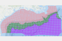
5 & 10 Lease Lines
|
shapefile
|
geodatabase
| 2/11/2025 5:41:24 PM |
Consists of lease term lines that depict the 5, 8, and 10 year lease term areas.
metadata
|
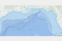
8g Line
|
shapefile
|
geodatabase
| 2/11/2025 5:41:29 PM |
Contains the information that delineates the Limit of the 8(g) Zone.
metadata
|
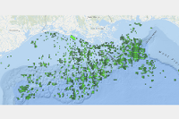
Active Lease Polygons
|
shapefile
|
geodatabase
| 4/1/2025 9:14:06 AM |
Contains all active lease polygons including whole block leases.
metadata
|
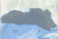
Blocks
|
shapefile
|
geodatabase
| 2/11/2025 5:41:00 PM |
Contains information that defines the Federal lease blocks for the New Orleans Office.
metadata
|
Block Polygons - Clipped
|
shapefile
|
geodatabase
| 2/11/2025 5:40:56 PM |
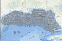
Contains information that defines the Federal lease blocks and defines the Federal lease blocks clipped along the Fed/State boundary for the New Orleans Office. Blocks or portion of blocks of the state side of the Fed/State boundary are not included.
metadata
|
|
BOEM 2012-2017 Final Program Areas
|
shapefile
|
n/a
| 5/15/2013 1:21:24 PM |
BOEM has prepared a Five Year Program for 2012-2017. This data is from the Proposed Final Program (PFP), the third in a series of mandated leasing proposals developed for public review before the Secretary of the Interior approves the new Five Year Program for 2012-2017. These areas have since been approved by the Secretary. The areas shown in this layer represent the largest areas that may be considered for leasing within the 5 year period within the Gulf. The zipped file contains four separate GIS shape files. One for each of the Gulf Planning Areas, and an area showing the current congressional moratorium in the Eastern Gulf.
metadata
|
|
BOEM 2017-2022 OCS Oil and Gas Leasing New Orleans Office Proposed Final Program Area
|
shapefile
|
n/a
| 1/24/2017 10:19:58 AM |
BOEM has prepared a Five Year Program for 2017-2022. This data is from the Proposed Final Program (PFP), the third in a series of mandated leasing proposals developed for public review before the Secretary of the Interior approves the new Five Year Program for 2017-2022. These areas have since been approved by the Secretary. The areas shown in this layer represent the largest areas that may be considered for leasing within the 5 year period within the Gulf. The zipped file contains a single GIS shape file. Within the GIS file a user will find separate polygons for each of the Program Areas planned for leasing in the Gulf within the 2017-2022 timeframe. Withdraw areas are now found within a separate GIS file.
metadata
|
|
BOEM 2019-2024 Draft Proposed Program Area - New Orleans Office
|
shapefile
|
n/a
| 2/27/2018 4:26:34 PM |
This layer represents the program areas of the Outer Continental Shelf (OCS) that could be offered for oil and gas lease sales during 2019-2024. The Secretary of the Interior included these areas for additional analysis and consideration in the 2019-2024 National OCS Oil and Gas Leasing Draft Proposed Program. The Draft Proposed Program is the first of three proposals for OCS oil and gas leasing, and includes 25 of 26 planning areas in each of the four OCS regions. The final decision on areas to be offered for oil and gas lease sales is scheduled to occur in late 2019.
metadata
|
|
BOEM 2019-2024 DPP Exclusion Option Areas - New Orleans Office
|
shapefile
|
n/a
| 2/27/2018 4:26:36 PM |
The Exclusion Option Areas for the 2019-2024 Draft Proposed Program are areas that the Secretary of the Interior has included for additional analysis and consideration in the 2019-2024 National Outer Continental Shelf Oil and Gas Leasing Proposed Program. The final decision on areas to be offered for oil and gas lease sales is scheduled to occur in late 2019. If a Exclusion Option Area is chosen as part of the final oil and gas lease sale decision, no lease sales will be offered in that area.
metadata
|
Continental Shelf Boundary (CSB)
|
shapefile
|
geodatabase
| 2/11/2025 5:41:04 PM |
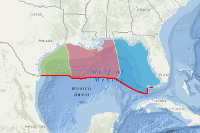
The limit of U.S. jurisdiction for offshore mineral development.
metadata
|
District Boundaries
|
shapefile
|
geodatabase
| 2/11/2025 5:41:08 PM |
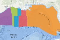
Contains the outlines of the districts for the GOA Region.
metadata
|
Fairways
|
shapefile
|
geodatabase
| 2/11/2025 5:41:12 PM |
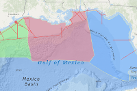
Contains the major shipping fairways for the GOA Region.
metadata
|
Fed/State Boundary
|
shapefile
|
geodatabase
| 2/11/2025 5:41:16 PM |
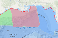
Contains the information that delineates the State Seaward Boundary.
metadata
|
Pipelines
|
shapefile
|
geodatabase
| 4/1/2025 9:15:41 AM |
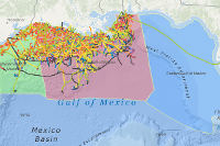
Contains the points and arcs of the pipeline in the GOA. All pipelines existing in the databases are included.
metadata
|
Planning Area Boundary
|
shapefile
|
geodatabase
| 2/11/2025 5:41:33 PM |
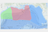
Contains the outlines of the New Orleans Office Planning Area Boundary.
metadata
|
Platforms

|
shapefile
|
geodatabase
| 4/1/2025 9:16:46 AM |
Identifies the location of platforms in GOA. All platforms existing in the database are included.
metadata
|
Protraction Polygons
|
shapefile
|
geodatabase
| 11/14/2019 11:55:34 AM |
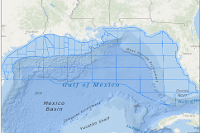
Contains information that defines a composite polygon of the areas for the New Orleans Office. This file is based on the OCS Marine Survey Group Official Protraction Diagram (OPD). Each offshore area is defined by an API Number corresponding to those in the API Bulletin Number D12A.
metadata
|
Protraction Polygons - Clipped
|
shapefile
|
geodatabase
| 2/11/2025 5:41:53 PM |
Contains information as above and defines the Federal protractions clipped along the Fed/State boundary for the New Orleans Office. No information in the state side of the Fed/State boundary is included.
metadata
|
Unit Polygons
|
shapefile
|
geodatabase
| 4/1/2025 9:17:43 AM |
Defines the surface delineation of the units in the GOA.
metadata
|

